
Garmin GPSMAP® 66s
GPSMAP 66s,SEA
Part No. 010-01918-0D
Features :
- Quad helix antenna and high-sensitivity GPS/GNSS receiver quickly locate your position and maintain precise location even in heavy cover and deep canyons
- Device provides multiple Global Navigation Satellite Systems (GNSS) support to track your route in challenging environments that would prove difficult for GPS alone
- Barometric altimeter tracks changes in pressure to pinpoint your altitude; use it to plot barometric pressure over time, helping you keep an eye on changing weather conditions
- 3-axis electronic compass shows where you're heading even when you're standing still
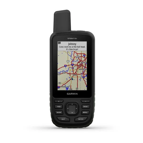
- Large, sunlight-readable color display measures 3 in. with 240 x 400 pixels to present imagery in crisp and colorful detail
- Expanded wireless connectivity via Bluetooth® and ANT+™ lets you share your waypoints, tracks, routes and geocaches wirelessly with other compatible devices
- Use Active Weather for up-to-date forecasts and animated weather radar; use Geocaching Live for mobile syncing and updates
- Compatible with Garmin Explore™ website and app to help you manage tracks, routes and waypoints and review statistics from the field
- Access BirdsEye Satellite Imagery with direct-to-device downloads (no annual subscription required)
- Battery runs up to 16 hrs. in GPS mode and 1 week in Expedition mode so you can go through your adventure with fewer charges
- 16GB of built-in memory can be expanded with a microSD™ card (sold separately) for additional mapping and data storage
- Rugged, impact-resistant body; IPX7 rating protects against 1m immersion for up to 30 min.
- Built to military standards for thermal, shock and water performance (MIL-STD-810G); screen is compatible with night-vision goggles
- High-sensitivity receiver is WAAS-enabled; the Wide Area Augmentation System satellites and ground stations provide GPS signal corrections, improving position accuracy
- LED flashlight
 Datasheet Garmin GPSMAP® 66s


